Tüm haberler için tıklayınız
Ziraat Bankası Genel Müdürü Alpaslan Çakar’ın konuk olduğu Girişimcilik Dersimiz Sabah,...
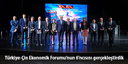
6’ncısını gerçekleştirdiğimiz Türkiye - Çin Ekonomik Forumu Milliyet, Nasıl Bir Ekonomi...
Konfüçyus Enstitümüz, Çin Halk Cumhuriyeti Ankara Büyükelçiliği ve İstanbul Başkonsolosluğu...
Atatürk İlkeleri ve İnkılap Tarihi Bölüm Başkanımız Dr. Öğr. Üyesi...
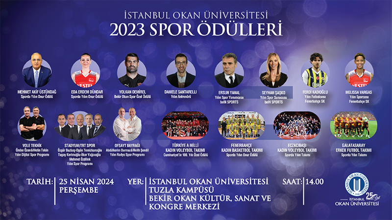
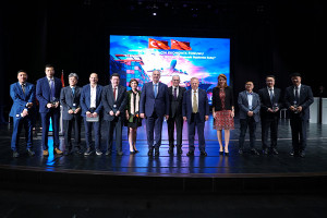
Öğrencilerimizin ve çalışanlarımızın oylarıyla belirlenen “İstanbul Okan Üniversitesi 2023 Spor...
İnsan ve Toplum Bilimleri Fakültesi Psikoloji Bölümümüzün düzenlediği Rengarenk Psikoloji...
VI. Türkiye-Çin Ekonomik Forumu’nu “Yıl Dönümlerinin Kavşağında: Türkiye-Çin Ekonomik İlişkilerine...
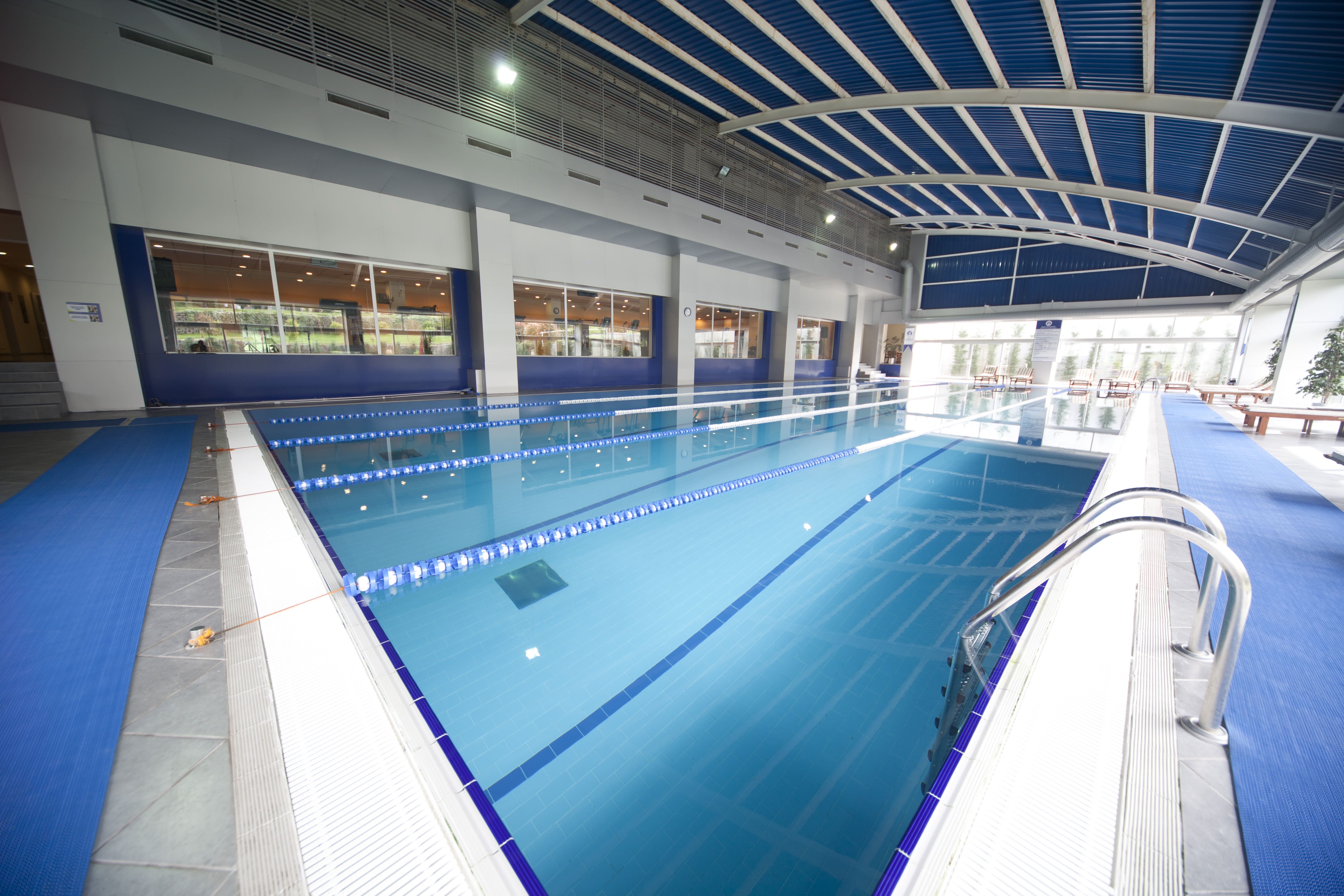
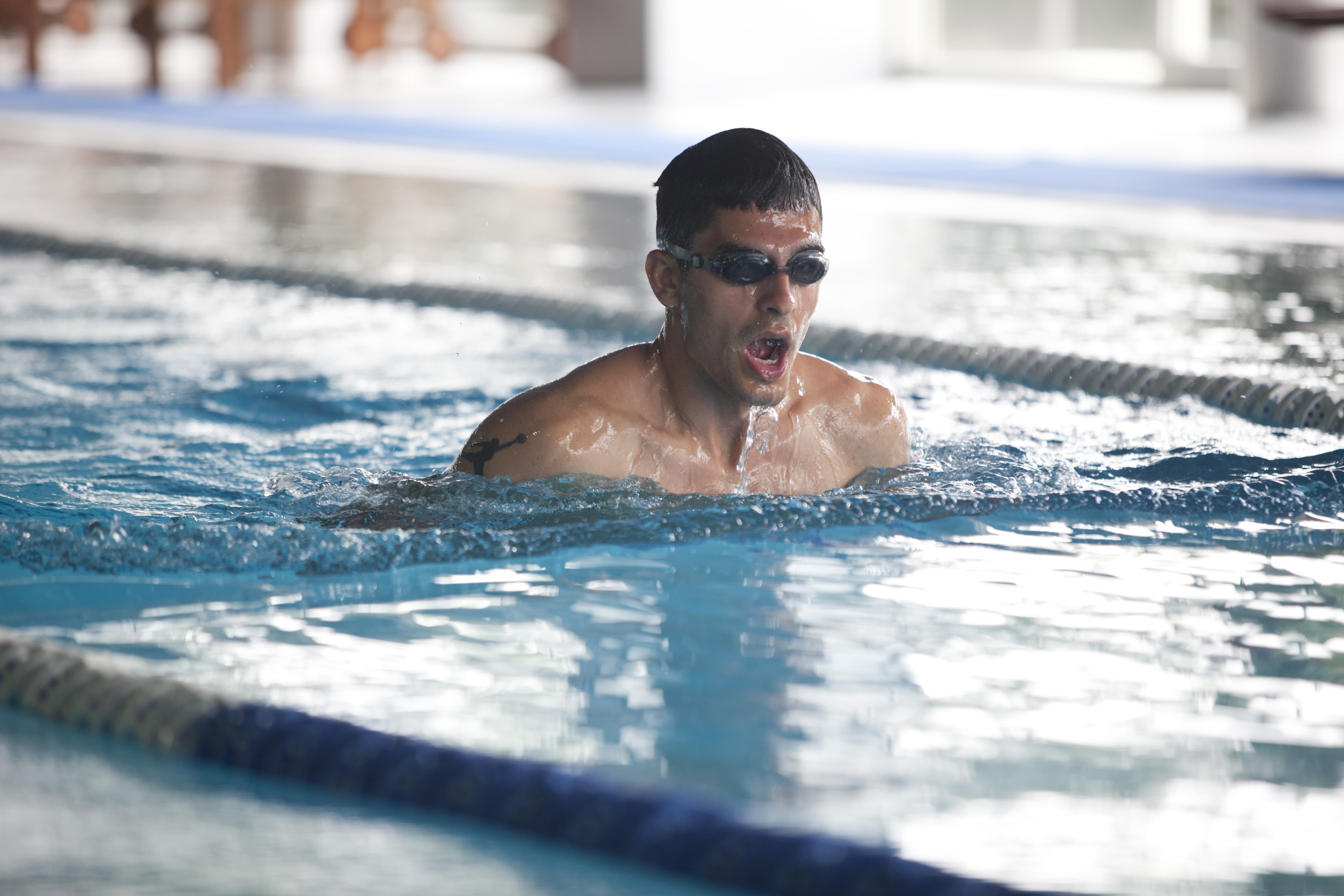
Üniversiteler Sutopu Şampiyonası’nda, Sutopu Takımımız Türkiye 2’ncisi oldu. Avrupa Üniversiteler Sutopu...
Tüm duyurular için tıklayınız
2024 - 2025 eğitim yılı erken mali kayıt yenilemeleri 01...
devamıİsrail’in Filistin halkına yönelik insanlık dışı saldırılarını son dönemde artırarak devam...
devamıTürkiye genelindeki ilköğretim, ortaöğretim ve lise öğrencilerini kapsayan "Rotamız Atamız...
devamıMeslek Yüksekokulu Bilişim Güvenliği Teknolojisi Programı için 12.02.2024 tarihinde Resmi...
devamıSağlık Hizmetleri Meslek Yüksekokulu Radyoterapi Programı için 12.02.2024 tarihinde Resmi...
devamıErasmus başarı puanları (Dil puanı %50 ve GNO %50) dikkate alınmış...
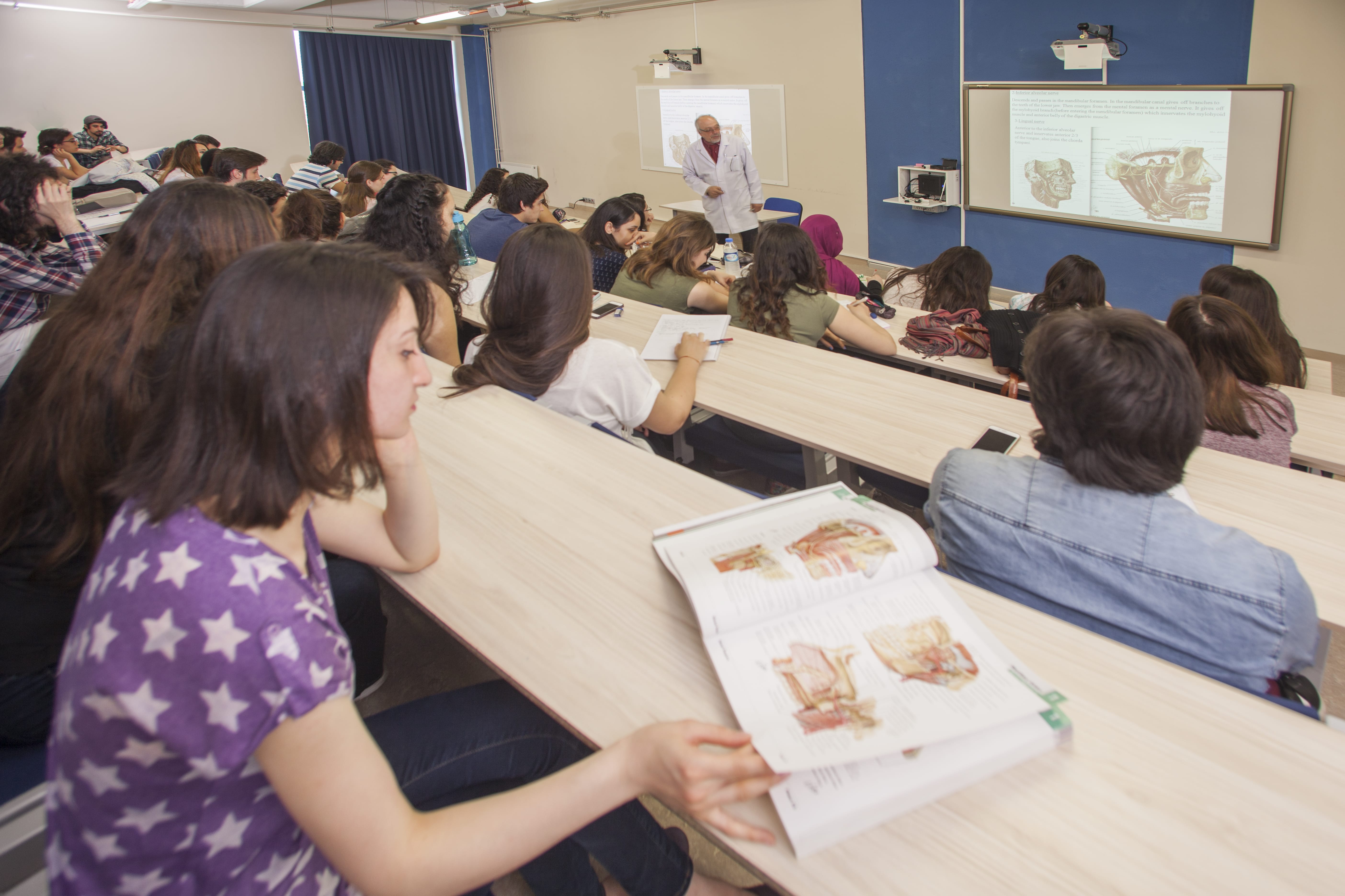
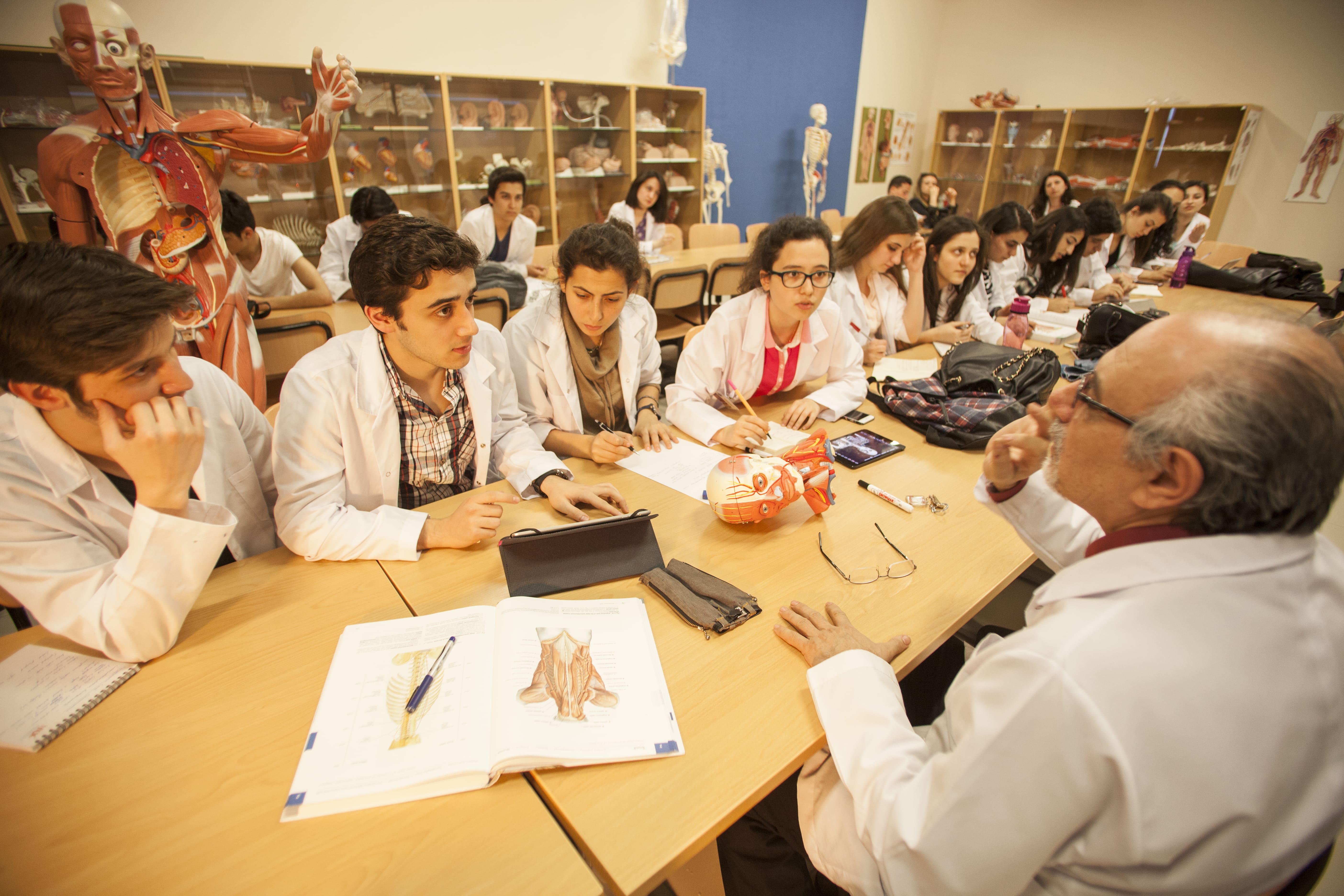
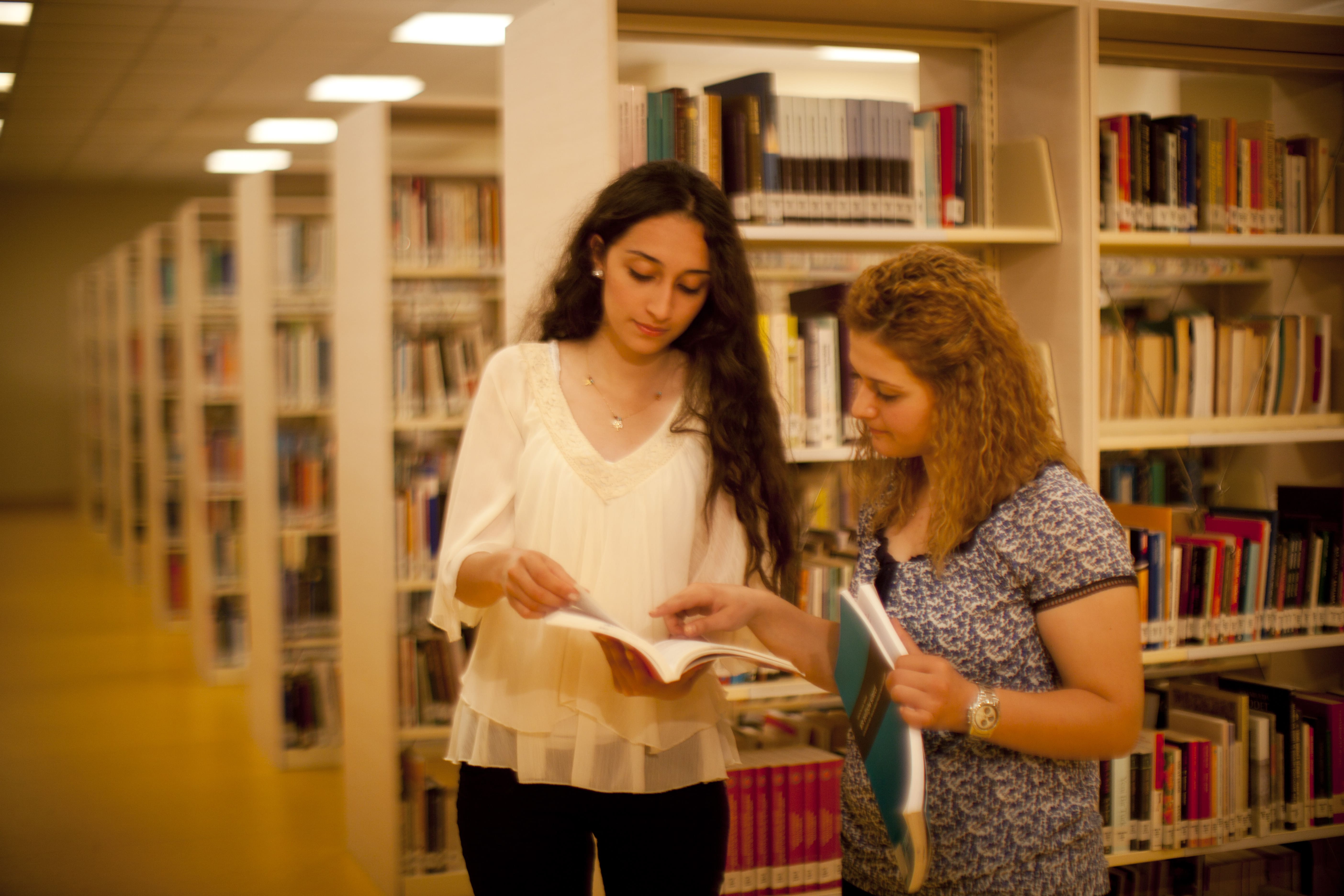
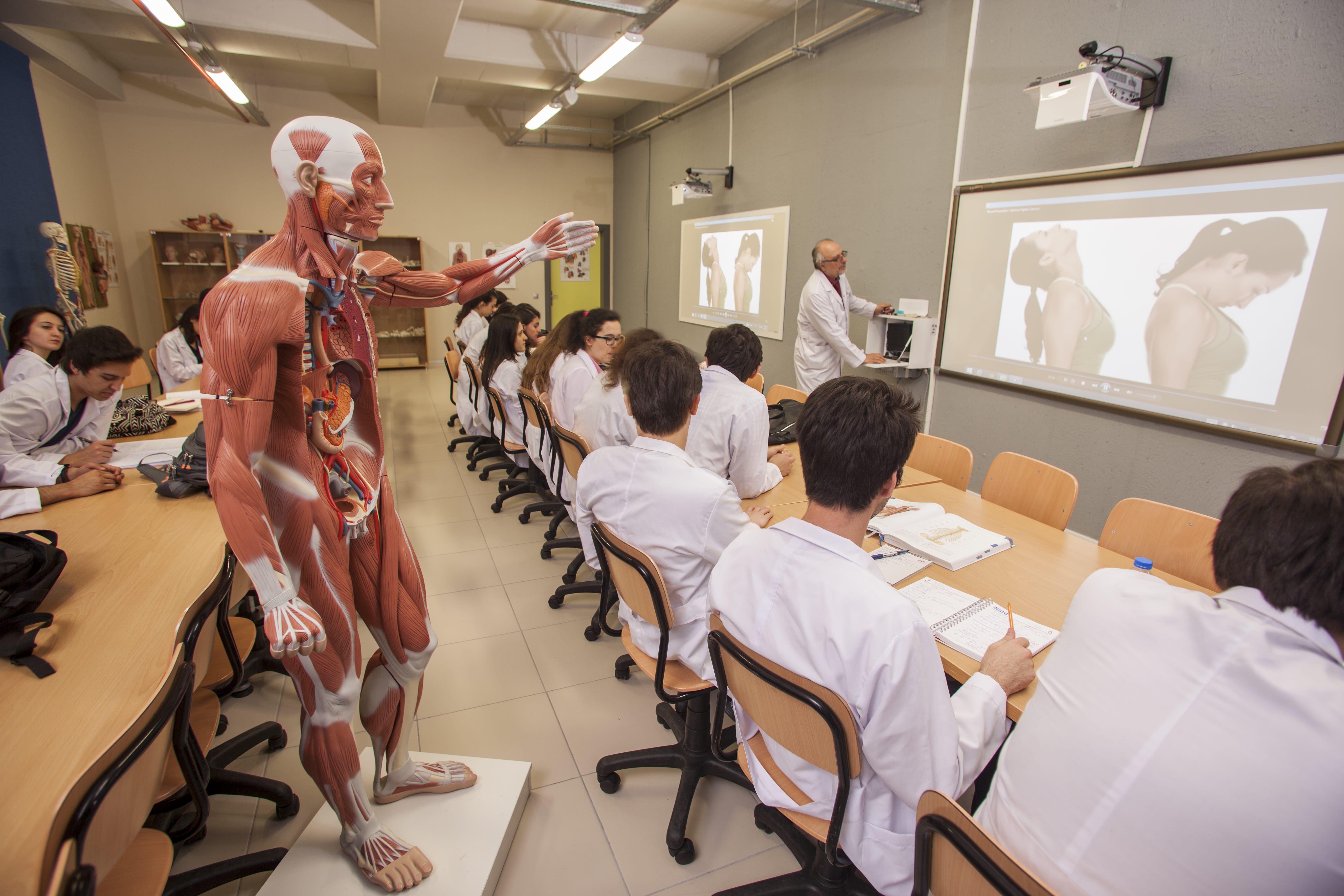
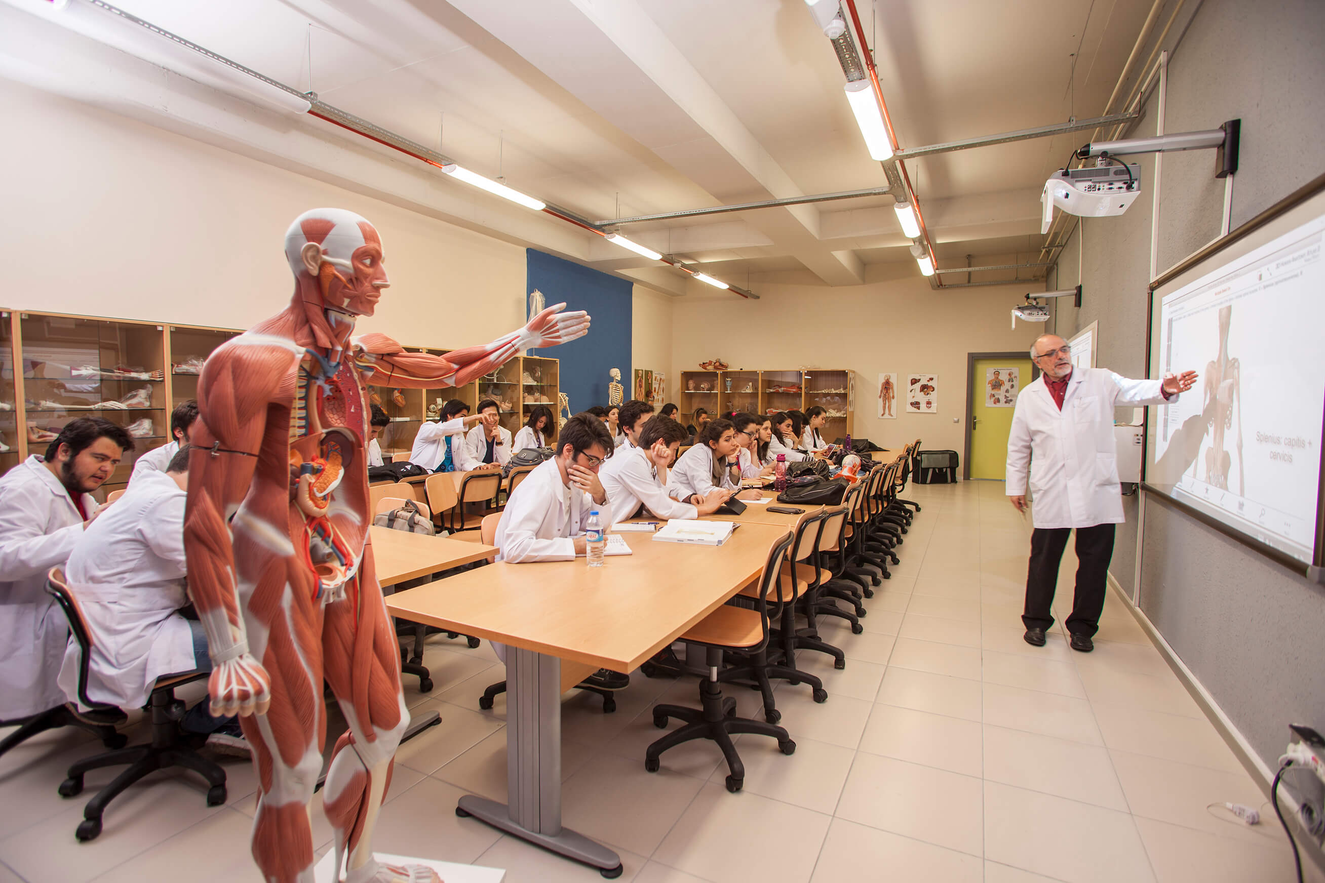
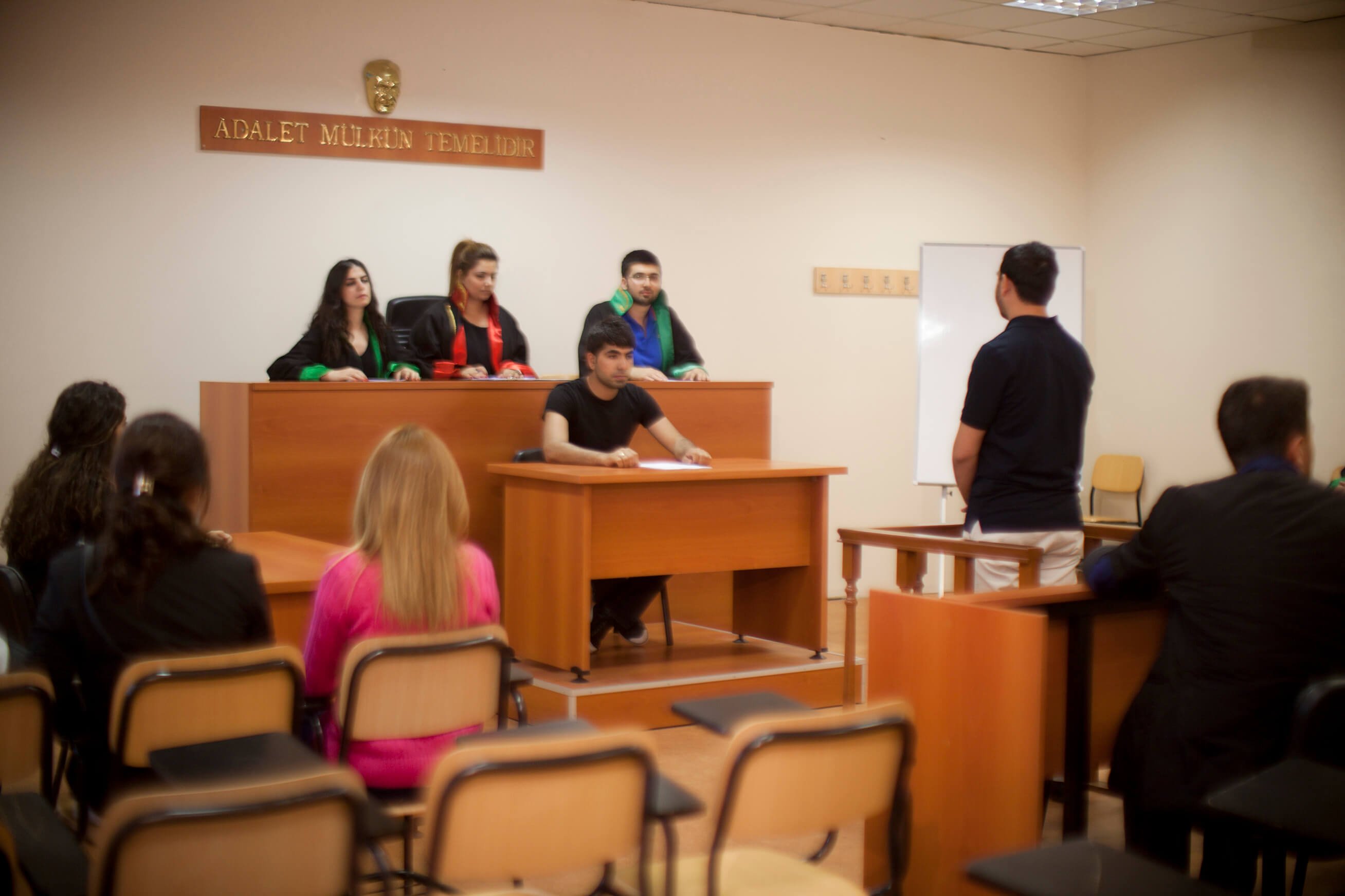
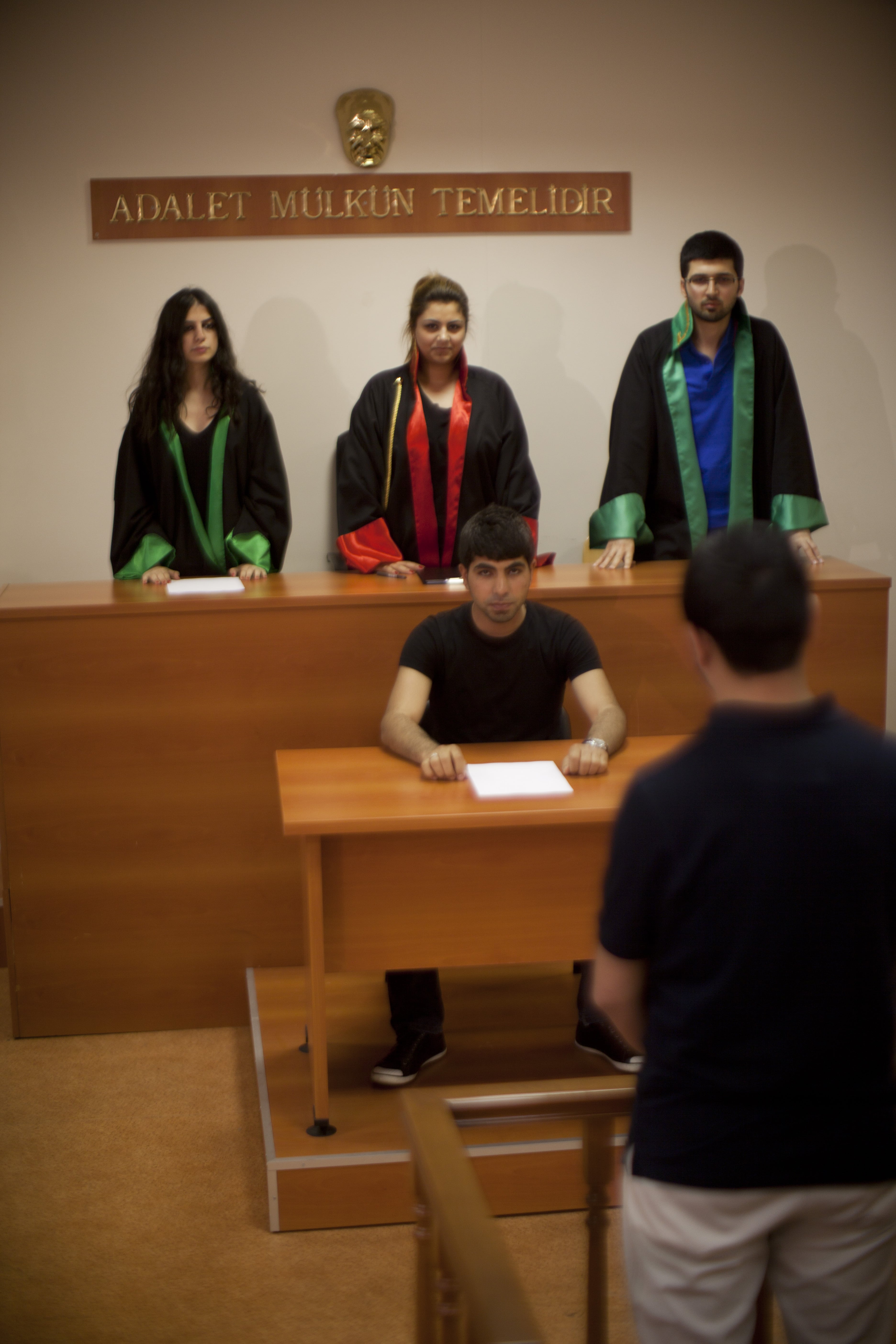
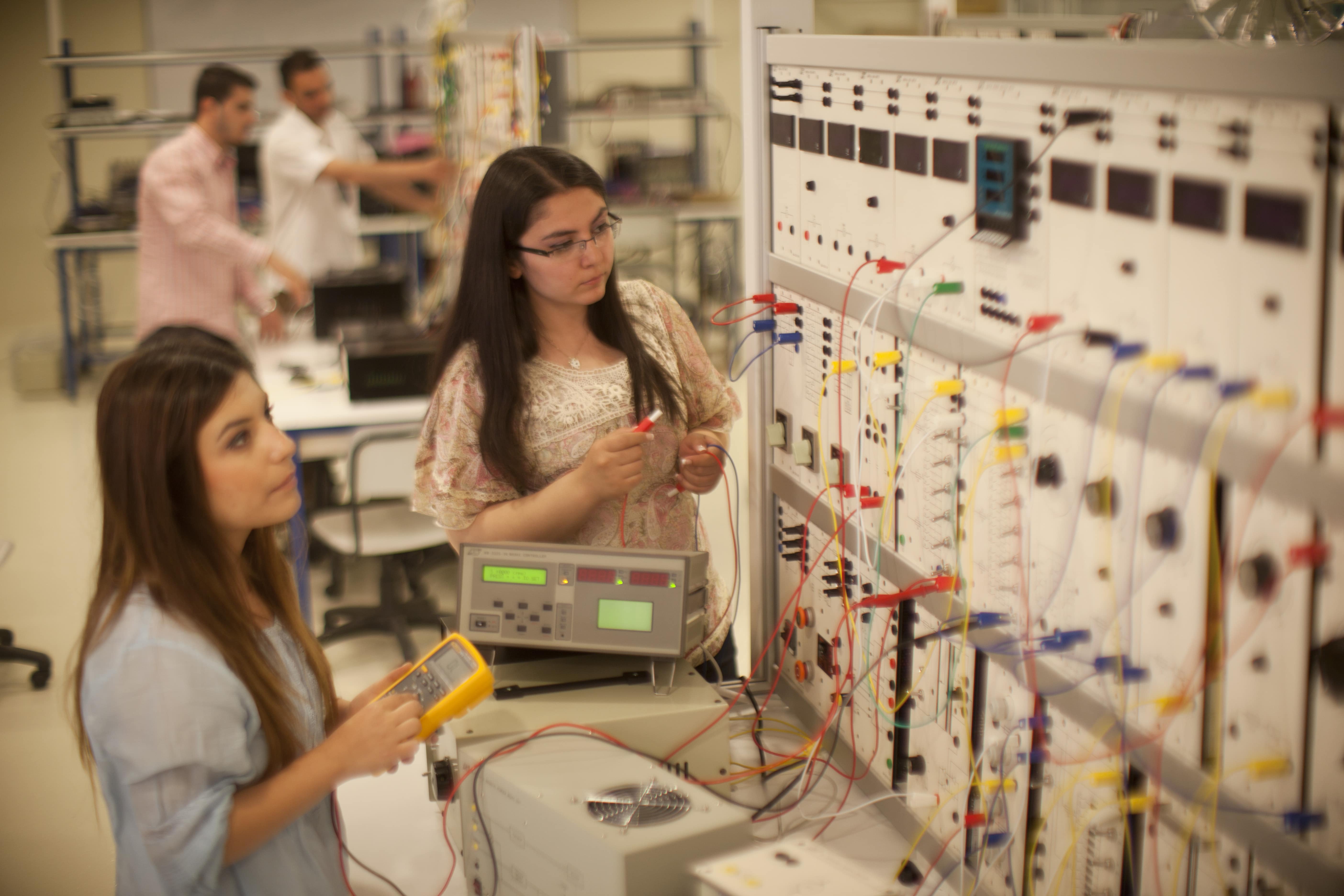
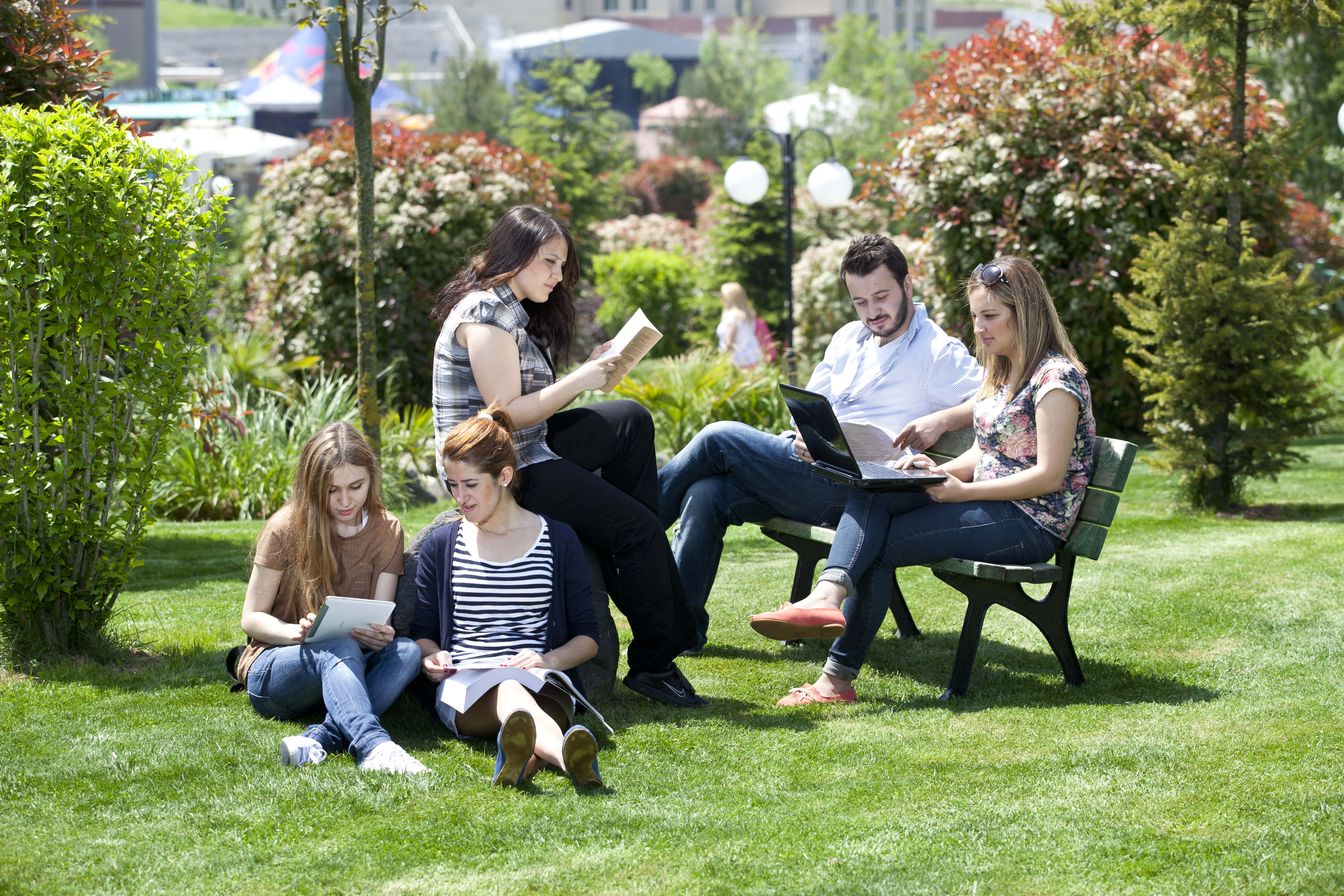
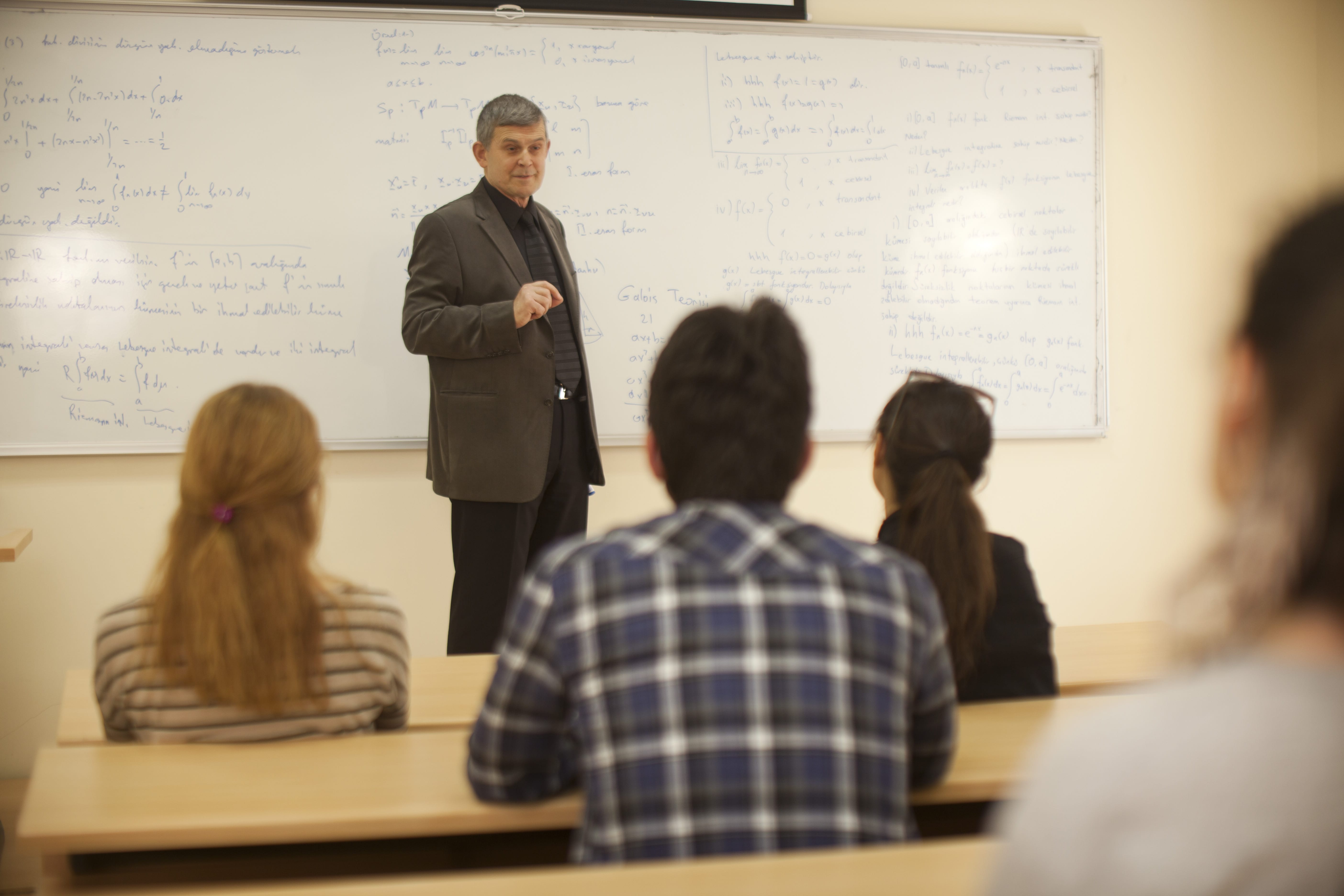
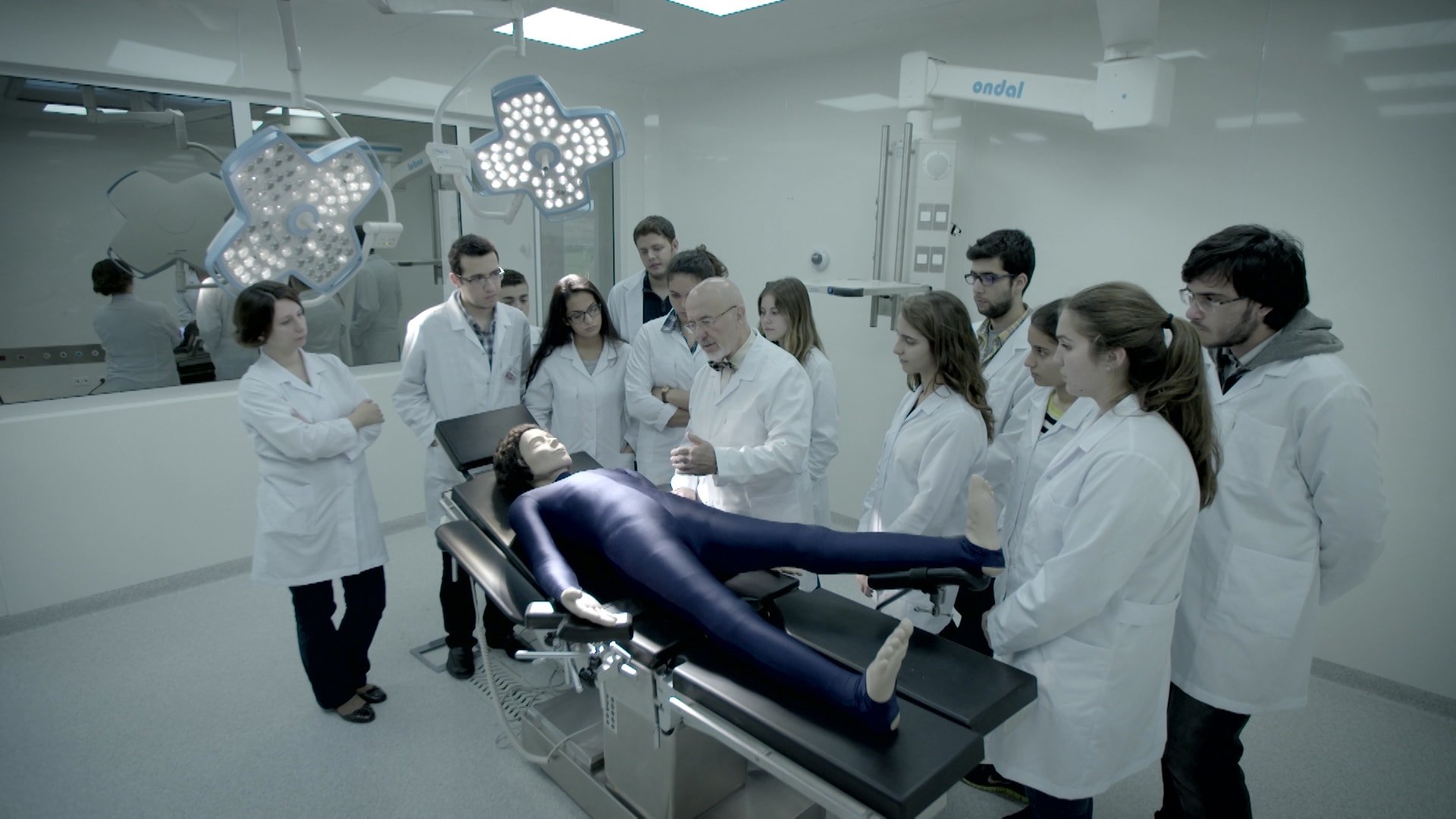
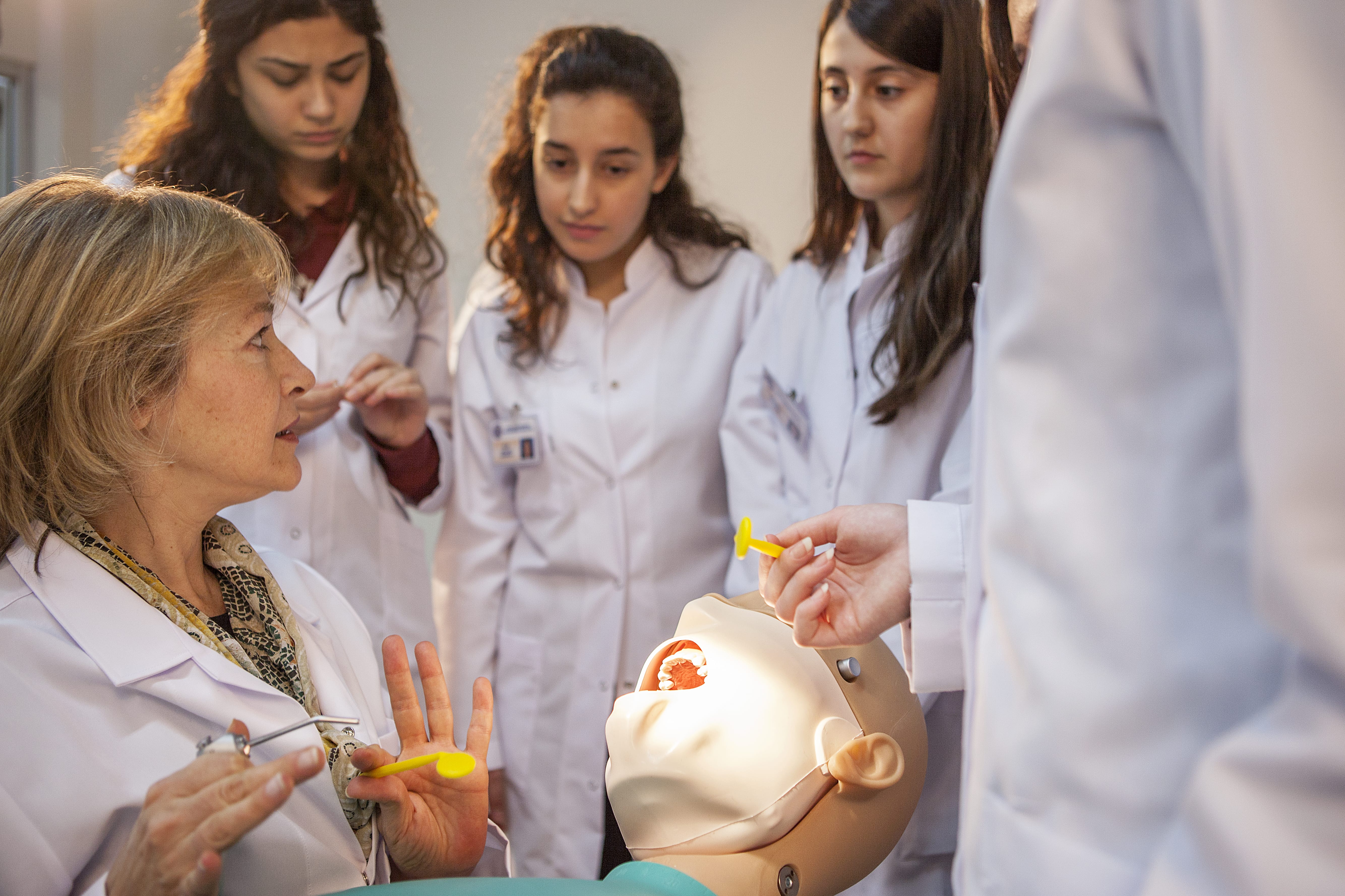
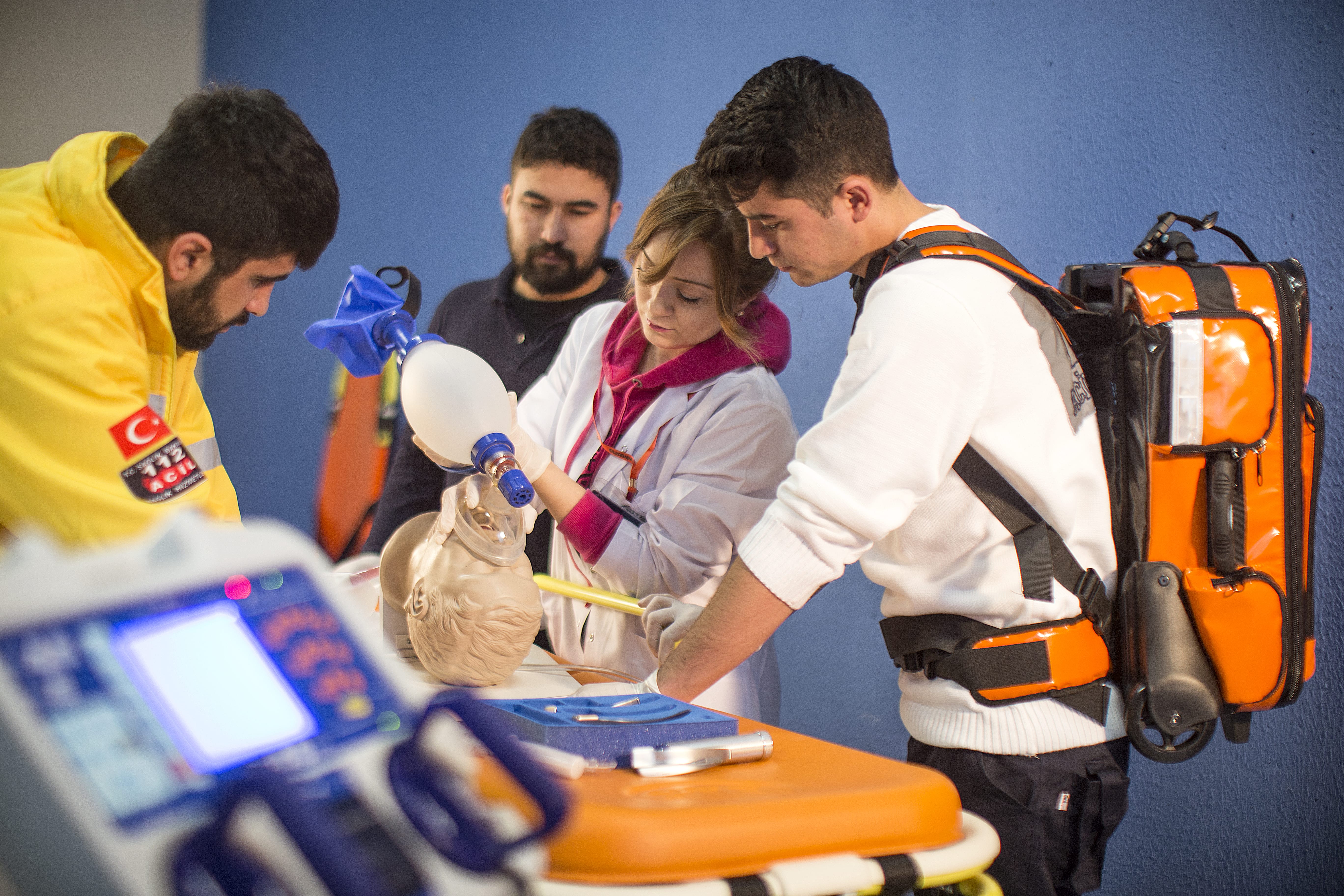
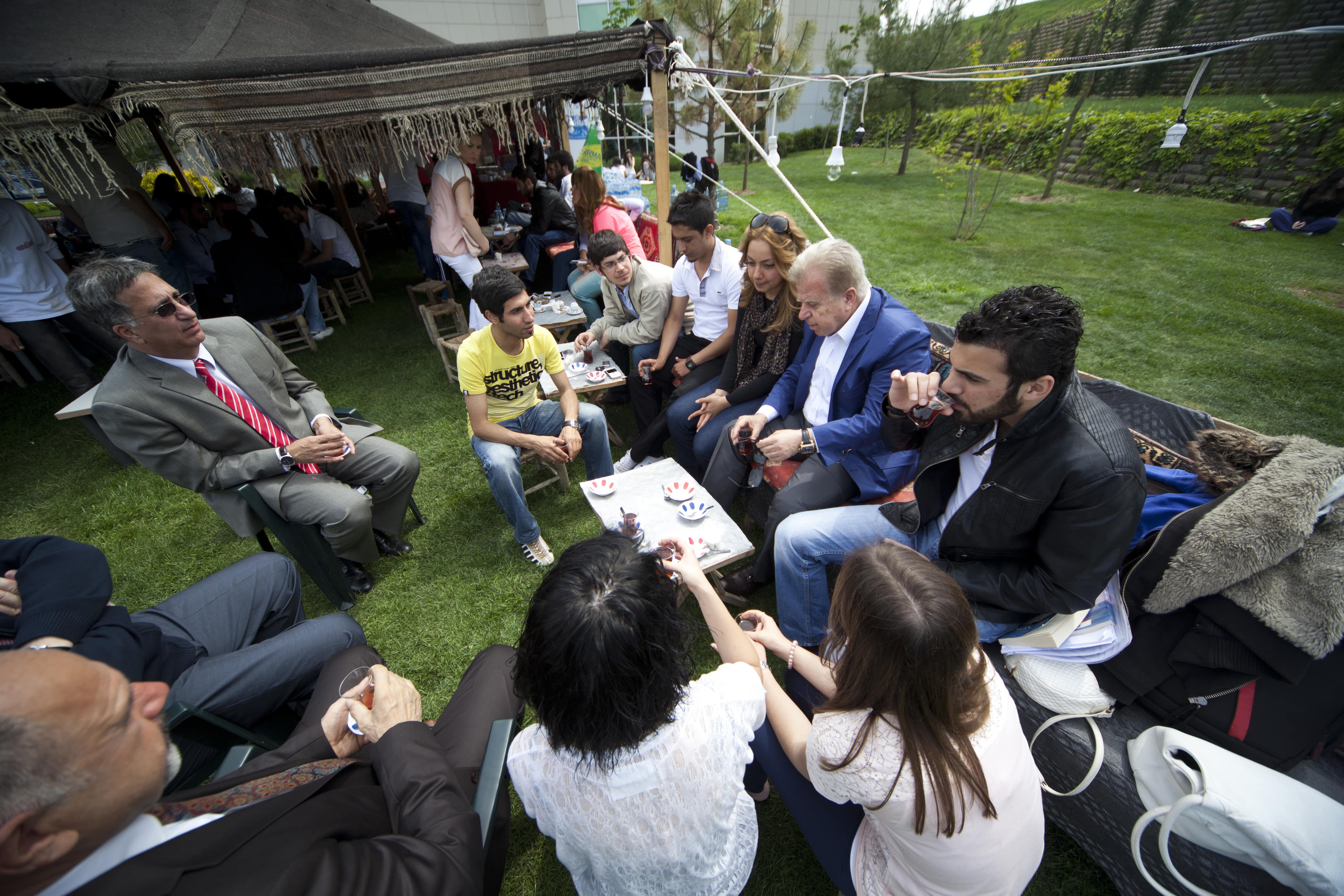
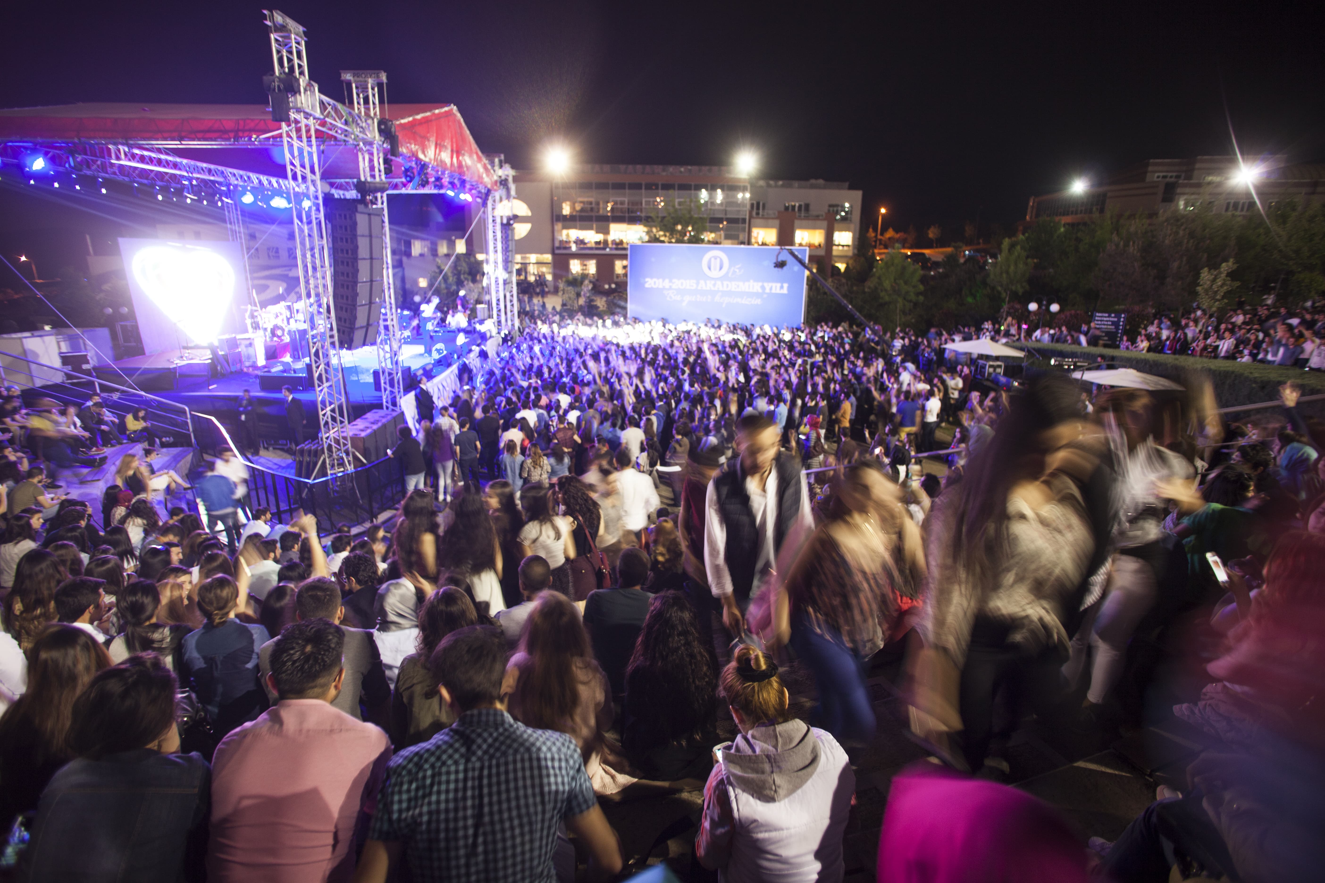
devamıTüm fotoğraflar için tıklayınız